Your Mission is Our Mission
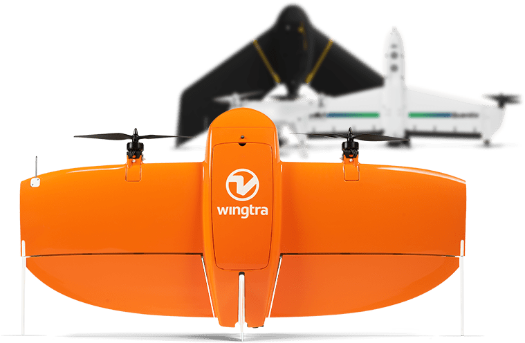
Rise Above Services LLC owns and leases drones and other equipment to fit the needs of our customers. Our equipment is accurate to 1 CM through the use of RTK equipment. Mapping can be delivered in a custom format that satisfies current customers. We use two different mapping solutions to get from drone cameras to maps that are usable by clients. Topography routing with GPS coordinates to give an accurate line or a 3D view is needed; we can deliver what is requested. Also, if real-time flight data is requested, that is possible while at your desk. (As long as we have an internet connection.
