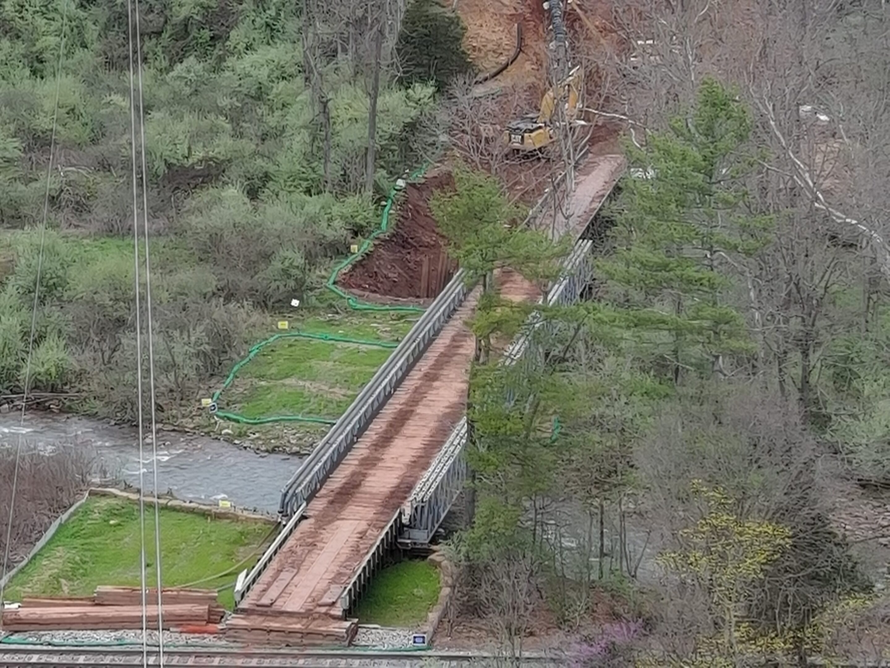
Land Surveying and Mapping Solutions
Data Processing
Load the flight data into the post-processing software platform and output a variety of surveying and mapping results, such as orthophotos.
Constructability
Projects need a designed path with the highest likelihood of displaying the optimal building map, letting you see all the areas.
Flight Mission Planning
Set the shooting point, camera angle, flying height, heading overlap, and side overlap on the flight software.
Survey Area
Confirm the size of the survey area, the density of the ground features, as well as the fluctuation and slopes of the aerial survey range, the estimated highest ground featured in the survey area, etc.
